| Map Layer |
Sample (click to enlarge) |
Maximum Scale |
Minimum Scale |
| NTS Sheet Text |
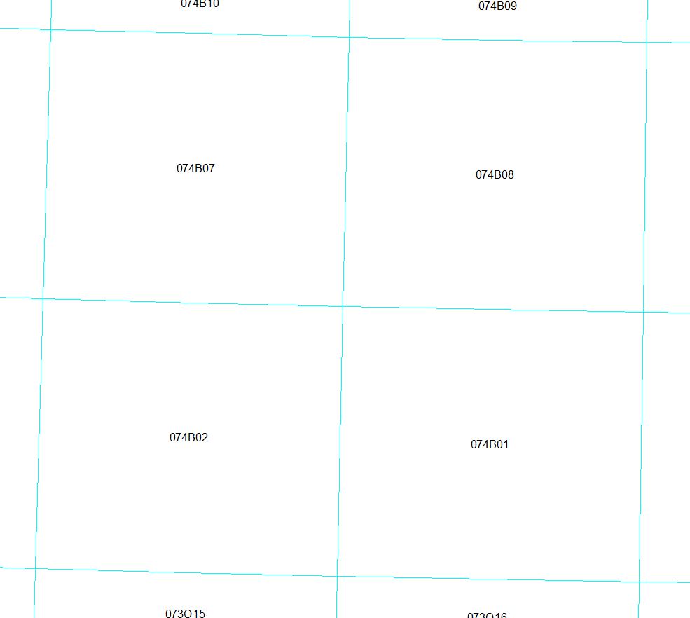 |
1:20,000 |
1:770,000 |
| NTS Sheet |
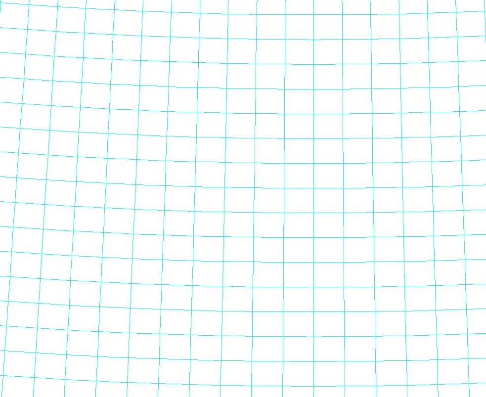 |
1:20,000 |
1:5,000,000 |
| Roads (1:320,000 – 1:500,000) |
.JPG) |
1:320,000 |
1:500,000 |
| Roads (1:500,001 – 1:3,000,000) |
.JPG) |
1:500,001 |
1:3,000,000 |
| Roads (1:3,000,001 – 1:15,000,000) |
.JPG) |
1:3,000,001 |
1:15,000,000 |
| Railway |
 |
No Maximum |
No Minimum |
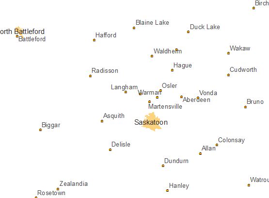
| Towns |
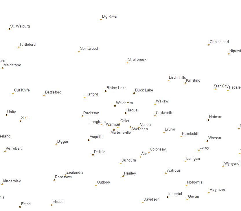 |
1:1,500,001 |
1:3,000,000 |
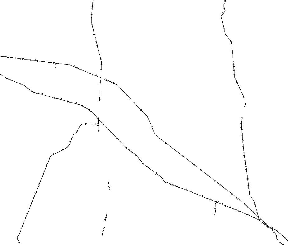
| Rivers |
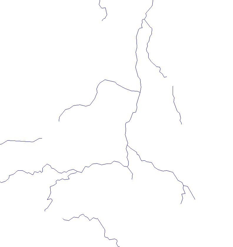 |
1:320,001 |
No Minumum |
| Lakes |
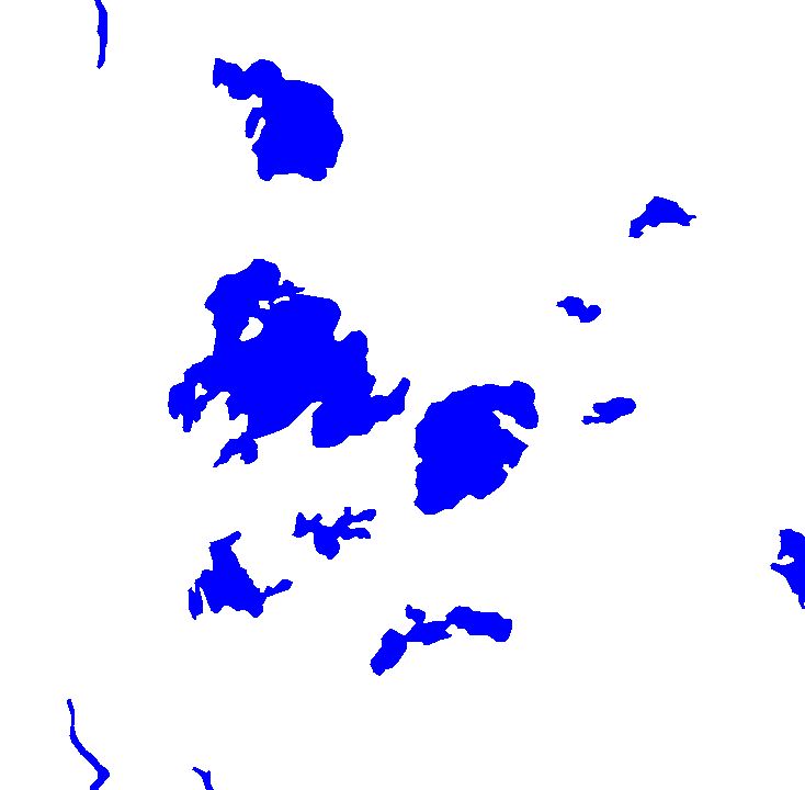 |
1:320,001 |
No Minimum |
| Cities (Polygons) |
 |
1:1,500,000 |
1:4,000,000 |
| Cities (Points) |
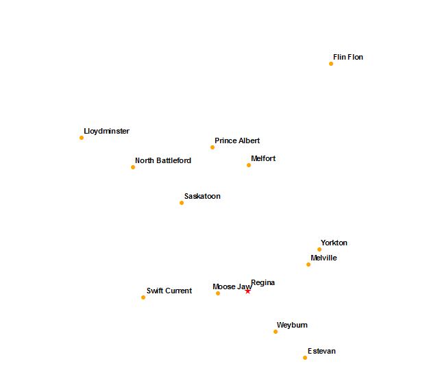 |
1:4,000,001 |
No Minimum |
| Street Names |
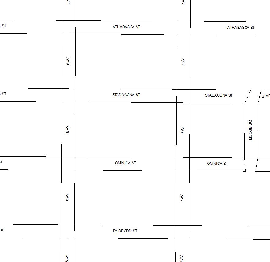 |
No Maximum |
1:15,000 |
| Corner LLD |
 |
No Maximum |
1:250,000 |
| Tied Parcels |
 |
No Maximum |
1:30,000 |
| Parcel Dimensions |
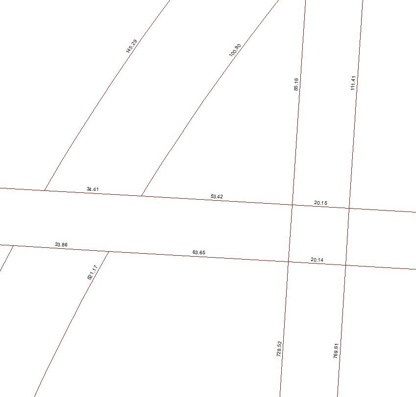 |
No Maximum |
1:20,000 |
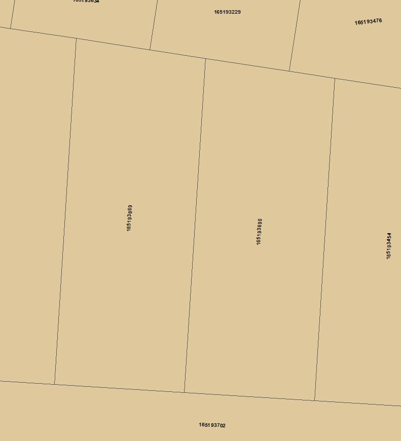
| Surface Parcel # |
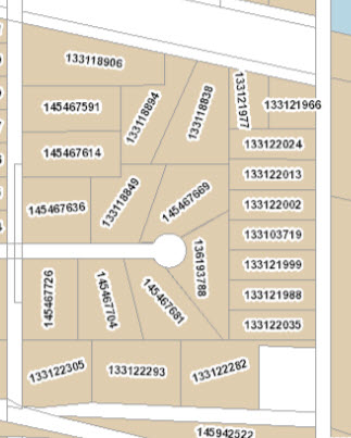 |
1:2,001 |
1:120,000 |
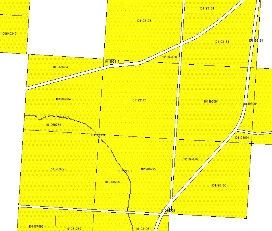
| Surface (<1:12,000) |
Abstract
No Parcel Info
 |
Titled
 |
No Maximum |
1:11,999
Label - 1:2,000 |
| Surface (1:12,000 – 1:320,000) |
Same as Surface (<1:12,000) |
1:12,000 |
1:320,000 |
| Mineral Parcel # |
 |
1:2,001 |
1:120,000 |
| Mineral (<1:12,000) |
Abstract
No Parcel Info
 |
Titled
 |
No Maximum |
1:11999
Label - 1:2,000 |
| Mineral (1:12,000 – 1:320,000) |
Same as Mineral (<1:12,000) |
1:12,000 |
1:320,000 |
| Feature |
 |
No Maximum |
1:320,000
Label - 1:75,000 |
| Lot |
 |
No Maximum |
1:12,000
Label - 1:3,000 |
| Block/Parcel |
 |
No Maximum |
1:20,000 |
| Plan Outline (< 1:12,000) |
 |
No Maximum |
1:11,999 |
| Plan Outline (1:12,000 – 1:100,000) |
 |
No Maximum |
1:100,000 |
| Pending Plan |
 |
No Maximum |
1:100,000 |
| Indian Reserve |
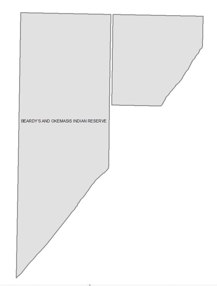 |
No Maximum |
1:5,000,000
Label - 1,000,000 |
| River Lot |
 |
No Maximum |
1:120,000 |
| Legal Subdivision |
 |
No Maximum |
1:120,000 |
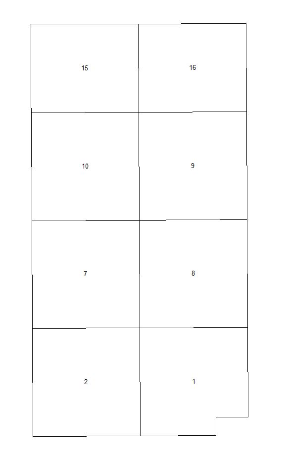
| Township (< 1:130,000) |
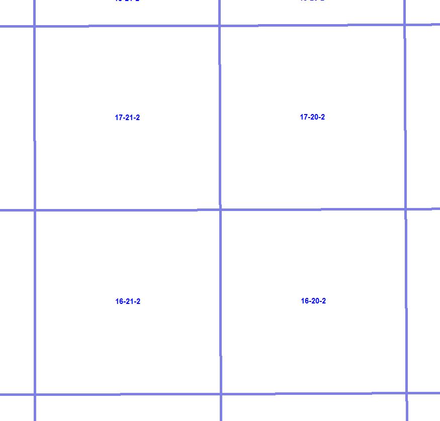 |
No Maximum |
1:129,999 |
| Township (1:130,000 – 1:2,000,000) |
Same as Township (< 1:130,000) |
1:130,000 |
1:2,000,000
Label - 1:750,000 |
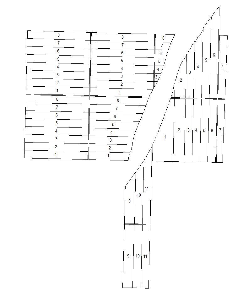
| Section |
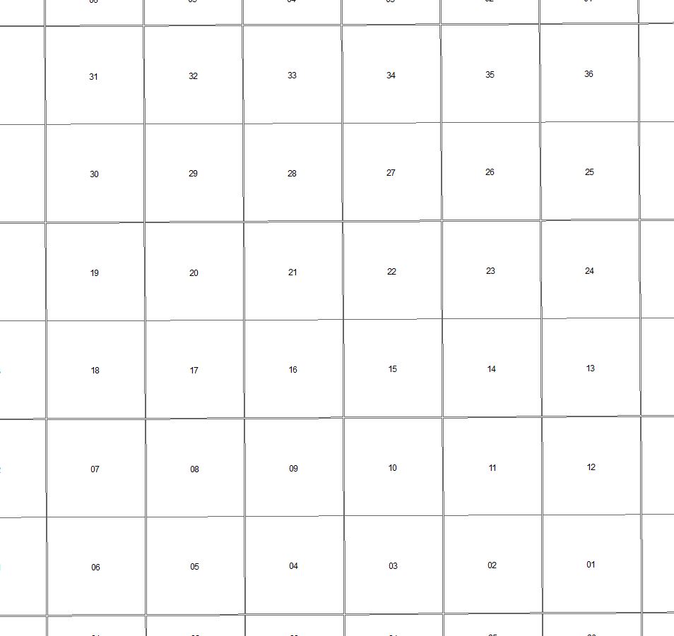 |
Label - 1:5,000 |
1:120,000 |
| Quarter Section |
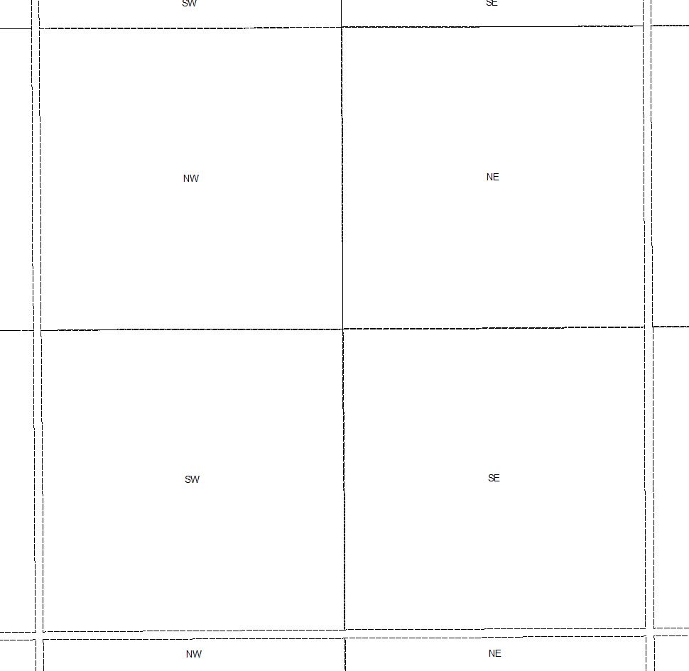 |
No Maximum |
1:120,000
Label - 1:20,000 |
| Parks (< 1:80,000) |
 |
No Maximum |
1:79,999 |
| Parks (1:80,000 – 1:7,000,000) |
Same as Parks (< 1:80,000) |
1:80,000 |
1:7,000,000
Label - 1:1,000,000 |
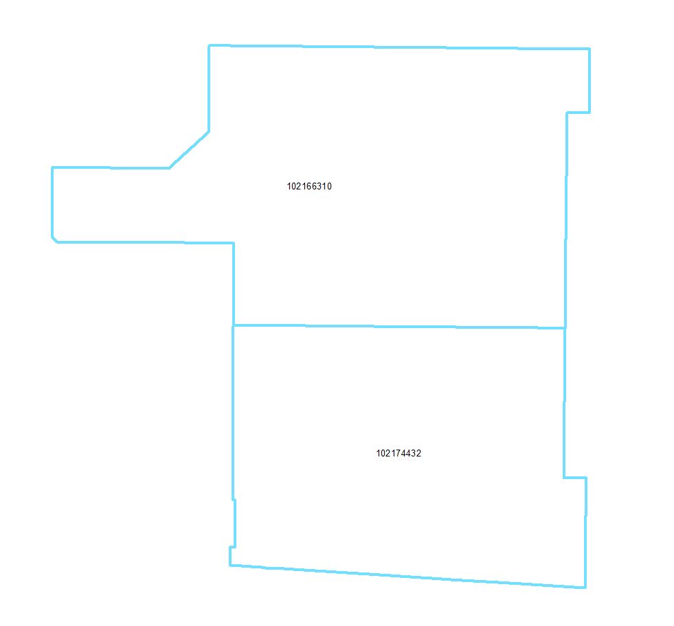
| Rural Municipality |
 |
1:5,000 |
1:5,000,000
Label - 1:2,500,000 |
| Urban Municipality |
 |
1:5,000 |
1:1,499,999 |
| Provincial Boundary |
 |
1:250,000
Label - 1:5,000,000 |
No Minimum |