The Toolbar allows you to perform various map operations. You can hover over the Toolbar icons to see their specific descriptions.
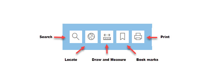
Search
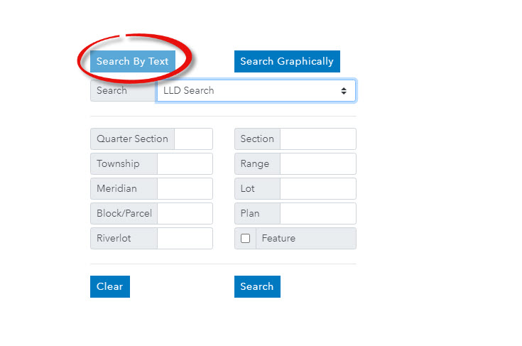
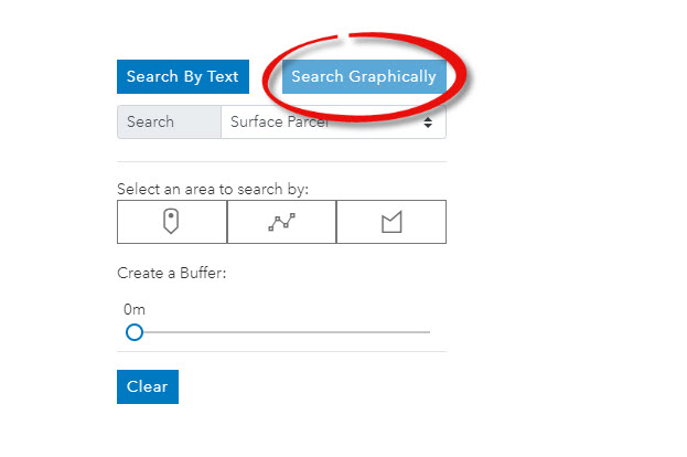
The search tool allows you to search land information by text or graphically.
When using the text search, each criteria will present additional information that you will need to populate in order to make an accurate search. For example: With surface parcel selected, you need to enter the parcel number to search for a surface parcel using text search.
Search graphically, select by point, line, rectangle, or polygon.
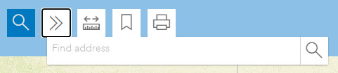
Locate
You can locate a civic address by entering the address and click locate.
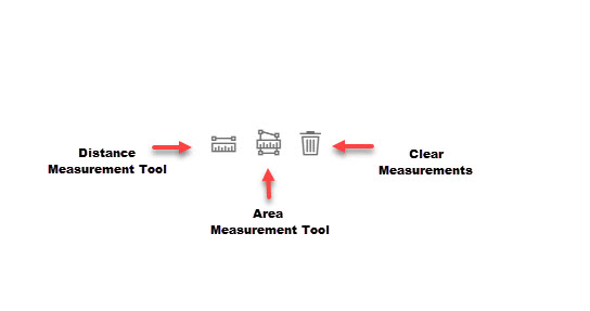
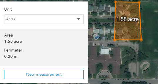
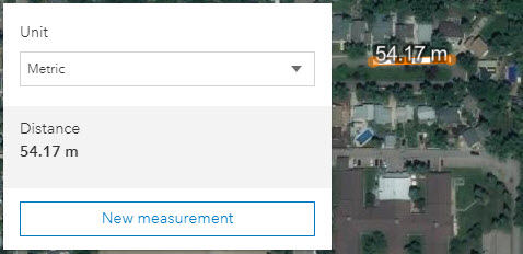
Draw and Measure
The Draw and Measure tool allows you to measure an are on a map, or find a distance by using shapes. It allows you to draw different objects on your map to highlight certain areas. Three icons will appear at the bottom left corner of the map window.
Bookmarks
The Bookmark tool allows the user to quickly access the information they frequently visit by placing a bookmark.
Print
The Print tool allows customers to print or save your Map Search results. You can save a copy in PDF or PNG format, or print screen a copy just as previously available.